Table of Contents
🧭 What is this route about?
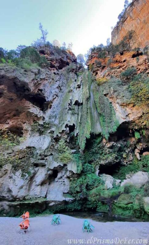
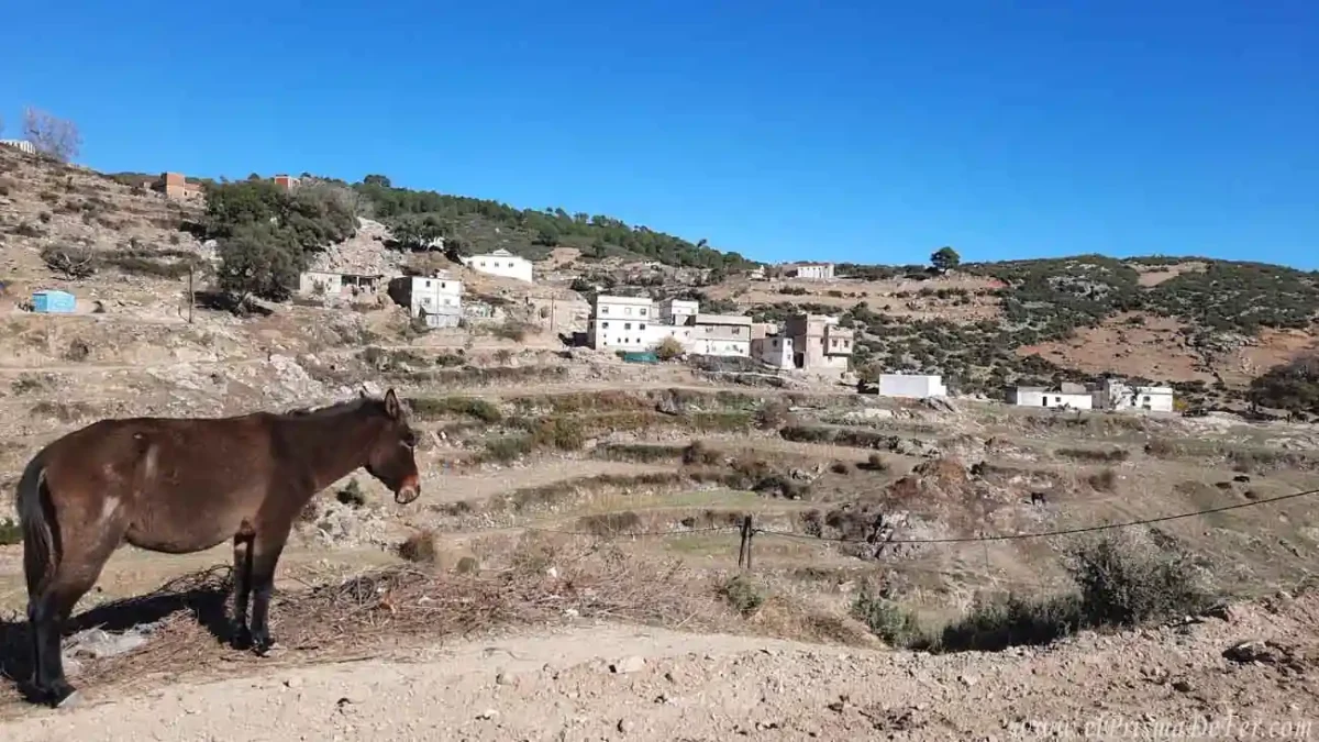
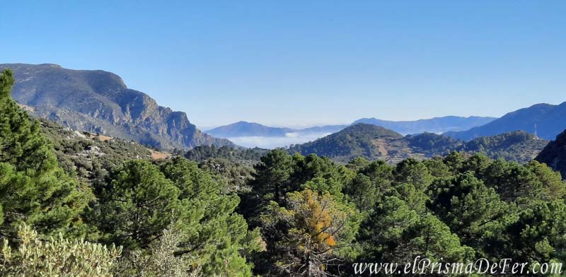
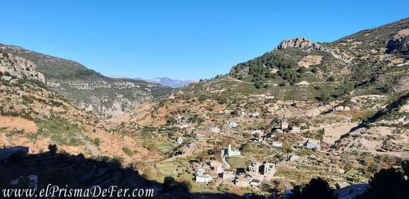
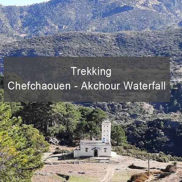
A tour of one of the most beautiful places in northern Morocco. The route begins in the city of Chefchaouen and ends at the entrance to Talassemtane National Park, crossing the Riff Mountains, in a natural setting with villages dedicated to hashish cultivation. It then delves between rock walls and dense vegetation until reaching the famous Akchour waterfall, a waterfall that, depending on the season, can be impressive or almost nonexistent. You can rest, refresh yourself, or simply enjoy the place.
You can read the whole experience in this article I wrote on the blog.
✨ What makes this route special?
- The contrast of the green and humid landscape with the arid Moroccan environment.
- The villages and the hashish fields.
- The chance to see Gibraltar monkeys (yes, there are macaques!).
- Riverside restaurants serving typical Berber food.
- Ideal for exploring on your own, without a guide, if you follow the route carefully.
🧭 What does this file include?
You will receive a KML/KMZ file that you can import into any type of mapping application.
- Formato .KML compatible con Maps.me y otras aplicaciones de GPS sin conexión.
- The complete tour day by day, just as I did it.
- Notes on the field, camps, and orientation tips.
📱 How to use this route?
You can open the file with applications such as:
- Maps.me (offline mode)
- AllTrails
- OsmAnd
- Gaia GPS
- Google Earth / My Maps (para PC)
Recommendation: Download the map before setting out. Signage is very limited along much of the trail.
🧡 Ideal for…
Ideal for independent travelers looking for greater security, time savings, and the best of the route.
Trekking scenes