This post may contains affiliate links. If you purchase through these links, I may earn a commission at no extra cost to you. Thank you for your support!
Table of Contents
🧭 What is this route about?
In this file, you'll find the entire route to follow the trekking route I took for 2 days to Mount Toubkal:
- From Imlil, the starting point for the climb to the summit of Mount Toubkal, spending the night in a mountain refuge.
- Where I slept in the shelter, viewpoints, detours and key points.

🧭 What does this file include?
You will receive a KML/KMZ file that you can import into any type of mapping application.
- Formato .KML compatible con Maps.me y otras aplicaciones de GPS sin conexión.
- The complete tour day by day, just as I did it.
- Notes on the field, camps, and orientation tips.
📱 How to use this route?
You can open the file with applications such as:
- Maps.me (offline mode)
- AllTrails
- OsmAnd
- Gaia GPS
- Google Earth / My Maps (para PC)
Recommendation: Download the map before setting out. Signage is very limited along much of the trail.
🧡 Ideal for…
Ideal for independent travelers looking for greater security, time savings, and the best of the route.
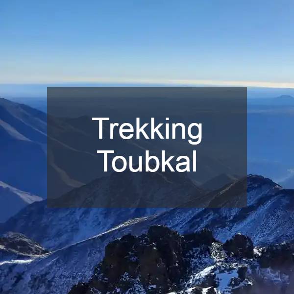
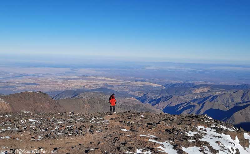
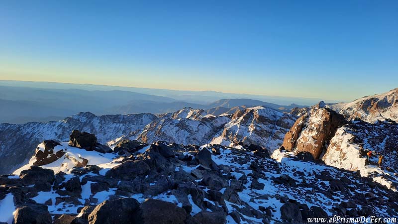
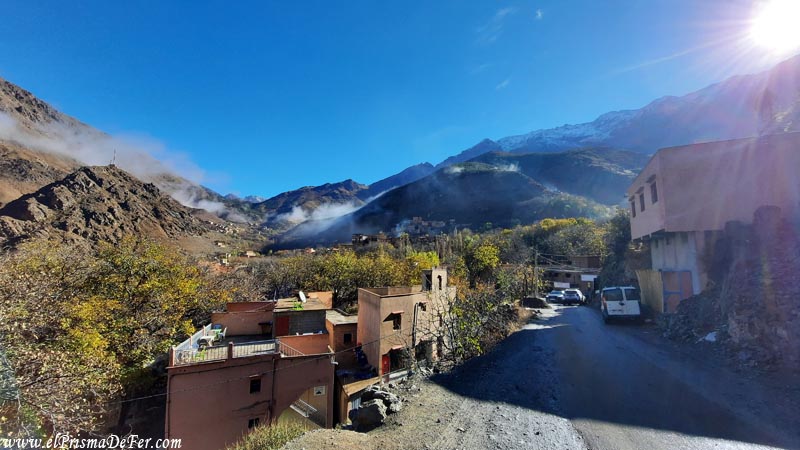
Trekking scenes
Support The Prism of Fer!
Your support helps me continue creating free content on the blog. Thank you so much!